
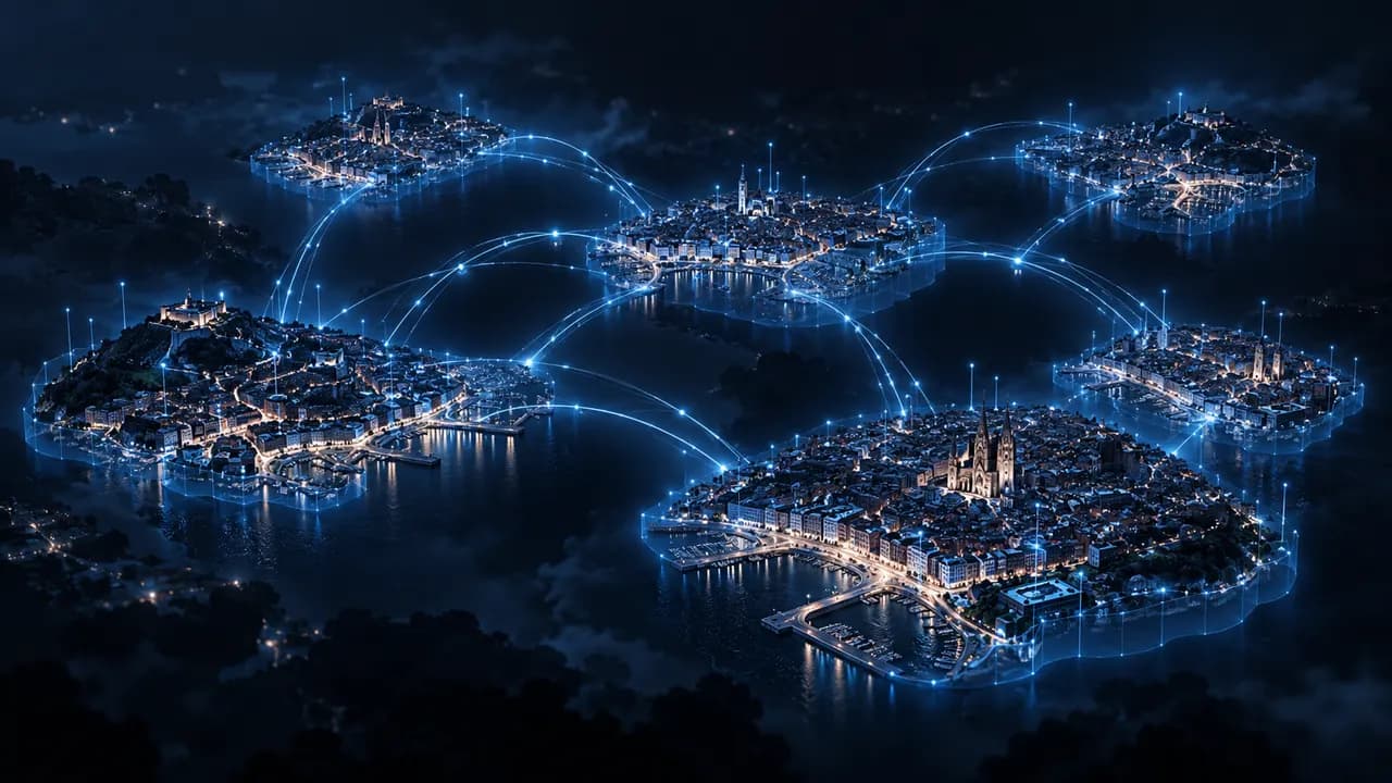
Before closing a street, approving a new development or preparing a flood plan, a council has to answer the same question: what effect will this decision have on the rest of the city? Local digital twins exist to help answer it.
What a local digital twin is
A digital twin is a digital representation of the city that combines its mapping, 3D models of buildings and streets, and up-to-date data from its services. It is more than a 3D model: it is a model on which scenarios can be simulated and alternatives compared before they are applied on the street.
Some common uses:
- Simulating the impact of roadworks on traffic and on affected services, to choose the best timing and diversion.
- Modelling flood, extreme heat or other emergency scenarios to prepare response plans.
- Presenting municipal projects in 3D so residents and technical staff understand their scope.
A digital twin is only as good as its data
If information on mobility, water, energy or planning is spread across systems that do not talk to each other, or locked in proprietary formats, the model ends up incomplete or out of date.
That is why the debate about digital twins is, at heart, a debate about interoperability: how data is shared between departments, between suppliers and, increasingly, between cities.
The European framework
The European Union has spent years building the pieces that make this possible:
- The Data Governance Act (Regulation (EU) 2022/868), applicable since September 2023, makes it easier to re-use certain categories of protected public-sector data and regulates data intermediation services.
- The Data Act (Regulation (EU) 2023/2854), applicable since September 2025, sets interoperability requirements for data spaces and makes it easier to switch between cloud service providers.
- Through the Digital Europe Programme, the European Commission is backing a common toolbox for local digital twins and a European data space for smart and sustainable communities.
- The Living-in.EU initiative brings together cities and regions committed to a digital transformation built on open, interoperable standards.
On the technical side, standards such as NGSI-LD, published by ETSI and used in the FIWARE ecosystem, and the Minimal Interoperability Mechanisms (MIMs) of the Open & Agile Smart Cities network define how urban data is described and shared so that different systems understand each other. In Spain, the UNE 178 series of smart city standards also sets out criteria for interoperability and open data.
No council tied to a single supplier
For a municipality, interoperability is not a technicality: it is what lets it change supplier, bring in new manufacturers or share data with other administrations without rebuilding its systems. And it is what keeps municipal data under the council’s control.
At Equilia we handle this with Urban Data Exchange, a layer that runs across the whole platform: a data catalogue, interoperable APIs, supplier integration, open standards and data governance. We integrate third-party hardware, connectivity and systems under open standards, so any piece can be replaced without the city losing what it has built.
How the digital twin fits into the platform
In our architecture, Digital Twin is where City Brain represents the state of the city and where its recommendations are tested before they are applied. It draws on municipal mapping and GIS, 3D models and real-time data from the other modules, and provides 3D visualisation, scenario simulation and comparison of alternatives.
Digital Twin is part of our strategic catalogue and is rolled out in phases. The best starting point is not the full 3D model but organising and connecting the data the municipality already has: on that foundation, the digital twin grows with every service that joins.